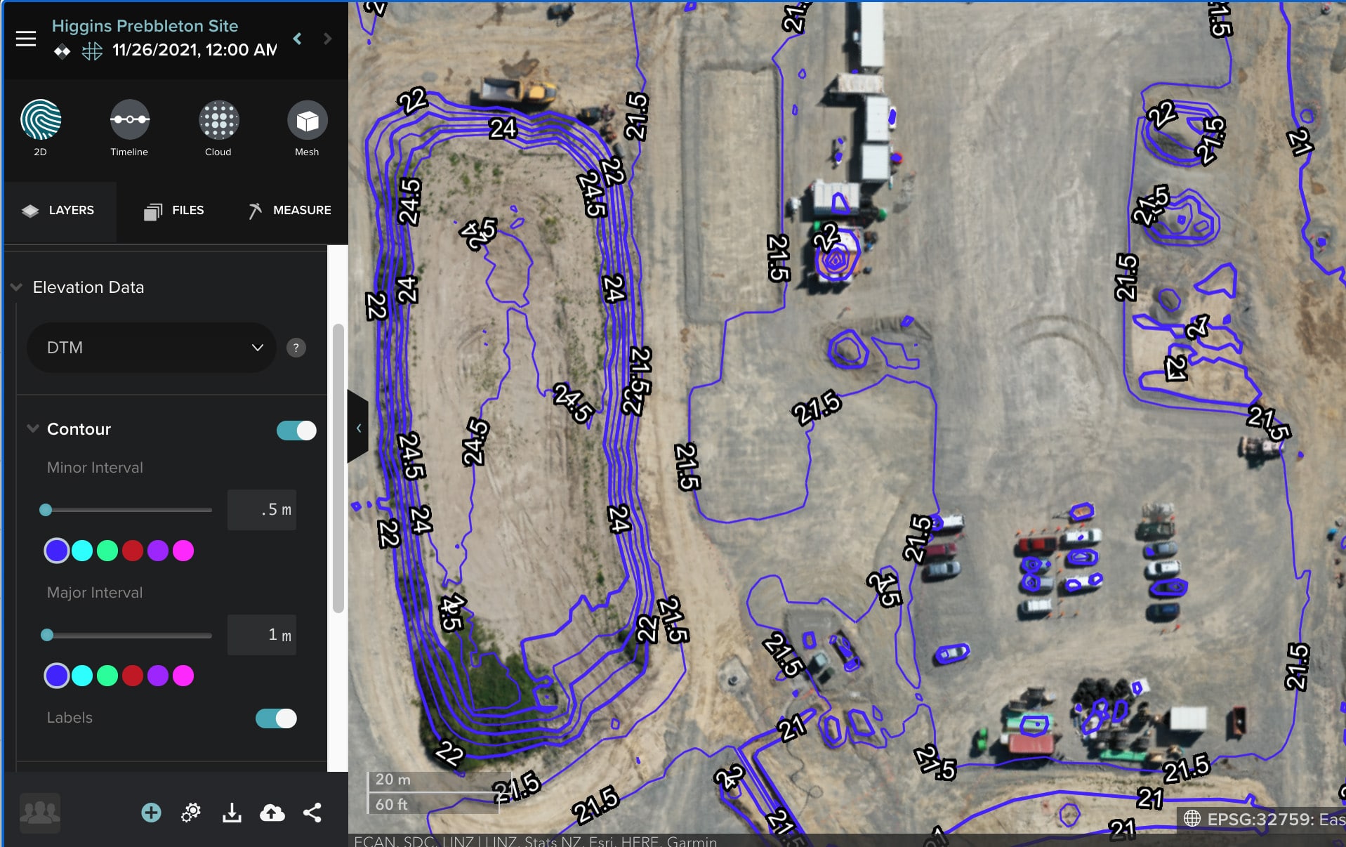
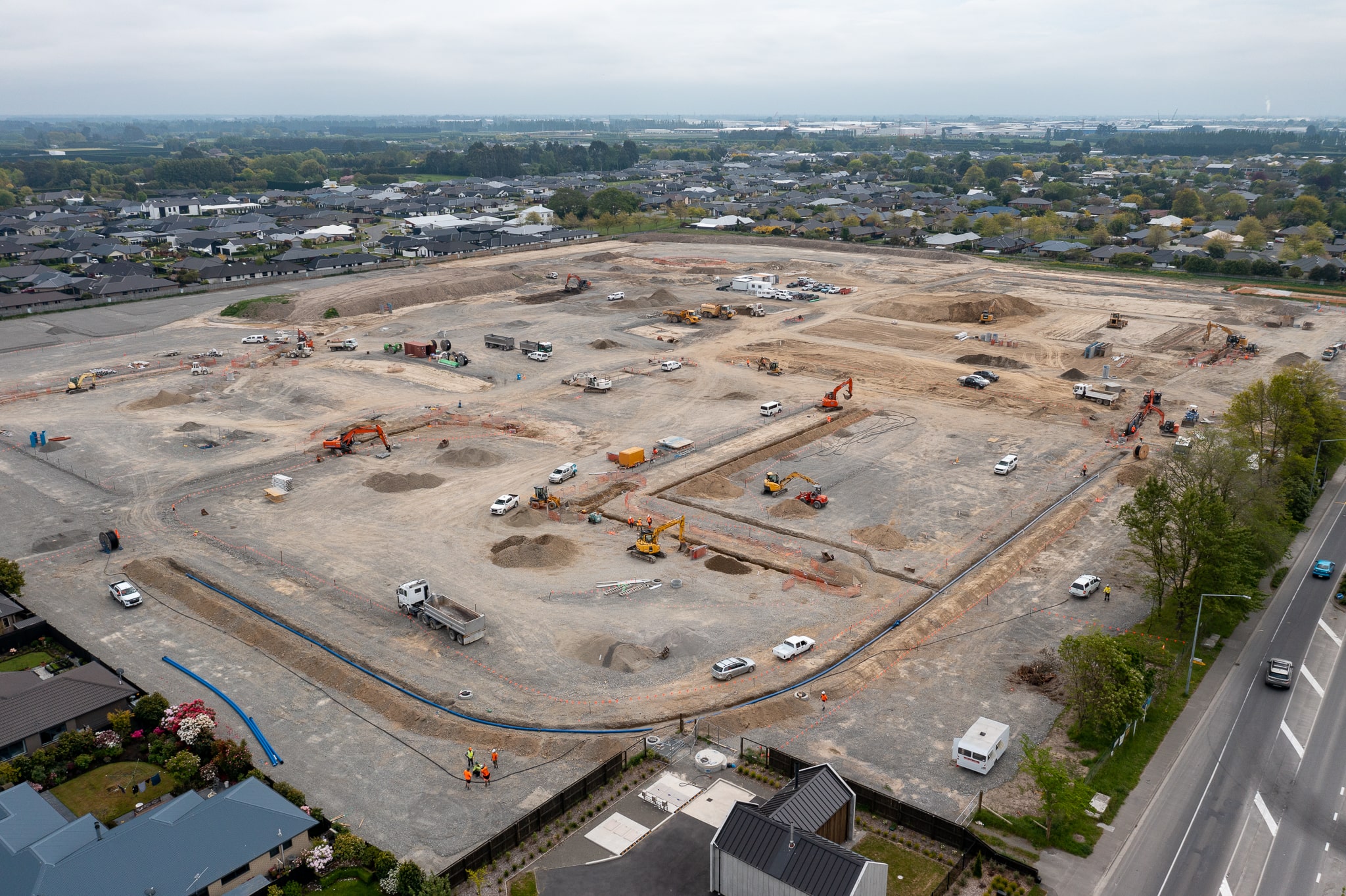
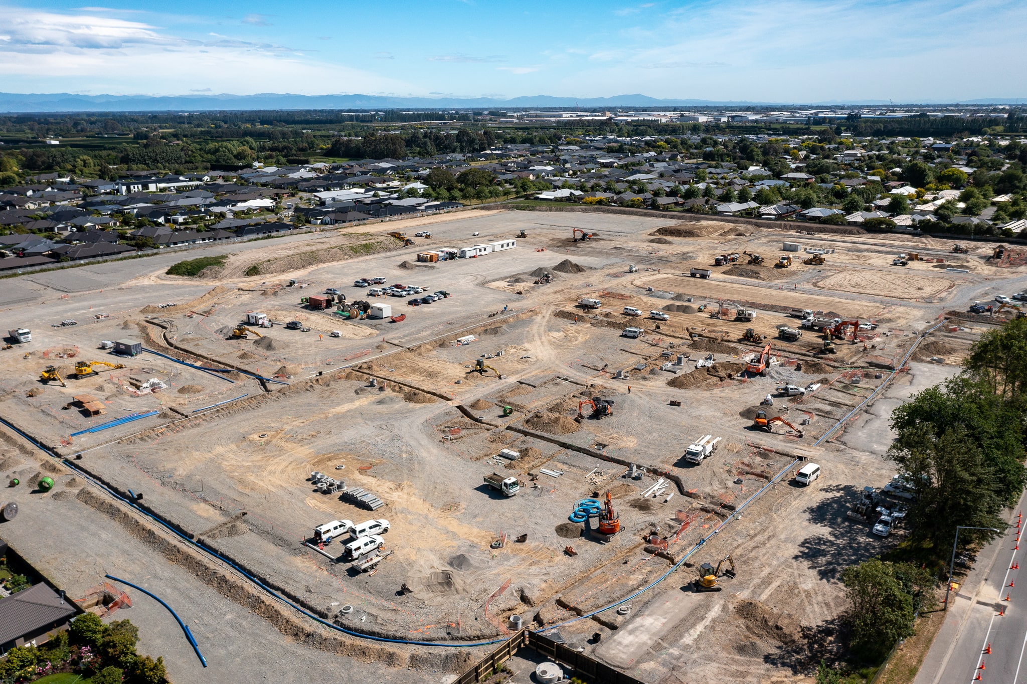
Upsite has been providing monthly aerial survey updates for the Higgins Prebbleton site since August, 2021. These aerial maps assist the project manager and site surveyor with month end reporting by giving them an up-to-date view of their site. Normally, this site would take several days to survey. Instead, Upsite generated an aerial map within a few hours using a drone, and our Site Scan service. Aerial data collection saves surveyor time, and generates millions of accurate data points. It is also safer to send a drone above the site, rather than send a surveyor in amongst heavy equipment.
In addition to the aerial map, the team has access to other analytic tools. The most popular tool for tracking progress over time is the Slider Comparison tool, which can be seen in the video below. Other analysis tools include volume comparisons based on previous flights, or custom surface planes. This can be useful for calculating total quantities of soil moved over a set period of time.


