• Media
    • General
    • Real Estate
  • Metrics
  • Portfolio
  • About
    • Our Story
    • Why Us
  • Contact
  • Media
    • General
    • Real Estate
  • Metrics
  • Portfolio
  • About
    • Our Story
    • Why Us
  • Contact

Metrics

Aerial Analysis

Upsite metrics are driven by our Site Scan software. This type of tech can cost some companies tens of thousands of dollars a year. Want to overtake your competitors without burning a hole through your wallet? We have you covered.

Sign up for a zero-term subscription with Upsite so you can access our bundles – without paying an arm and leg in the process. Multi thousand-dollar software for well below market prices? We consider that an unmissable offer.


How It Works     See Portfolio

Our tech allows multiple users to simultaneously view drone generated models online. Our zero-term subscription includes potent analytics and measurement tools. If you’re looking to capture the full scale of your site and access intricate data, then partner with Upsite today.

Features

Link survey control points to a geo-referenced model for a high degree of accuracy.

  • Precisely locate a model in real world coordinates.
  • Achieve accuracy to within 1cm by using these points
  • Download geo-located photos, contour maps, and models.

Link project survey control points to a geo-referenced model for a high degree of accuracy. The first question we usually get is asked is: how accurate are drone models? When the models are linked to project survey control points, an accuracy of within 1 centimeter can be achieved.

  • Use surveyed ground control points to precisely locate a model in real world coordinates.
  • Achieve accuracy to within 1cm by using these points
  • Geo-referenced photos, contour maps, and models can also be downloaded and shared across organizations.

Accurately measure volumes, areas, slopes, and lines from any point in the project, including past versions and models of the site.

  • Easily perform measurements with simple web interface tools, and compare them over time.
  • Measure slopes and grades of installed utilities and services.
  • Create red-line or record drawings for client turnover.

Upload design drawings and surfaces to compare with current site conditions.

  • Verify work in place conforms to design.
  • Calculate volume difference between current site contours and design.

View past models of your jobsite, and compare them to current conditions.

  • Turn back the clock, and see what your project looked like in the past.
  • Perform analysis on past projects.
  • Useful for determining progress, location of buried work, and productivity.

Inspect a range of projects, remotely from any device and location with an Internet connection.

  • Gain new perspectives on your jobsite, and share them with key stakeholders.
  • Export files as a .PDF, or range of other file types.
  • Inspect hard to reach areas remotely, and improve the safety of your site by sending a drone, not a worker.

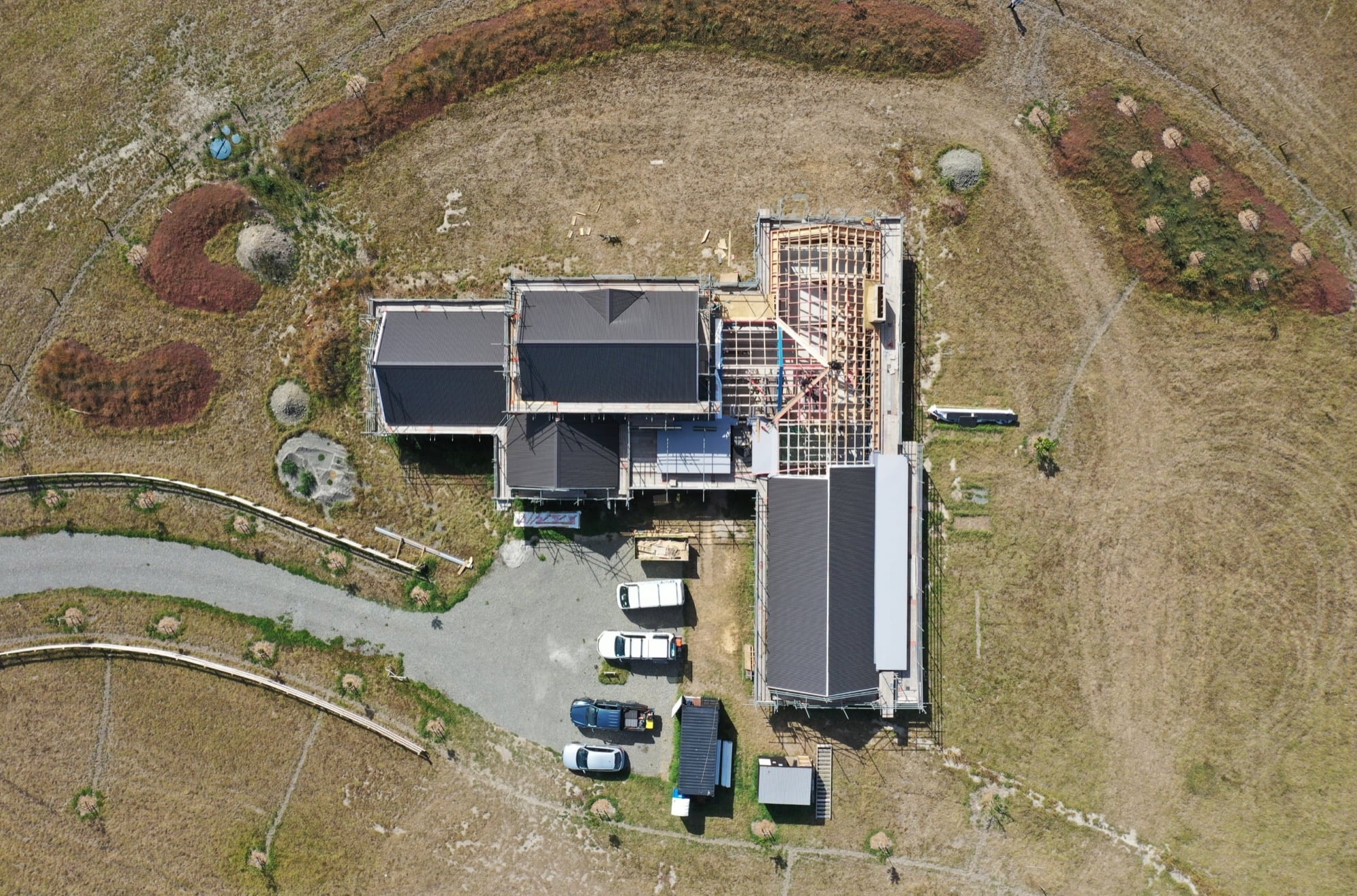
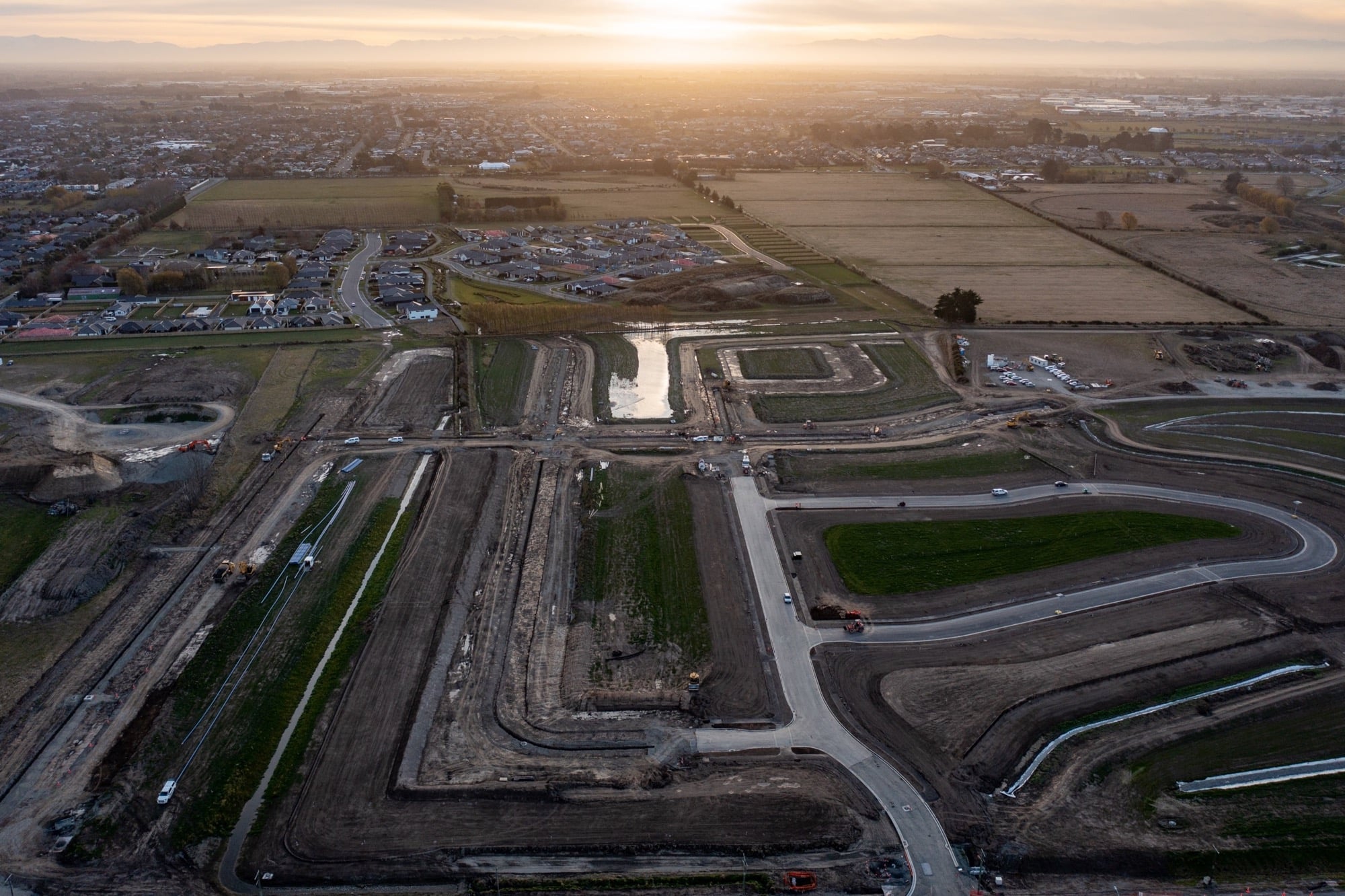
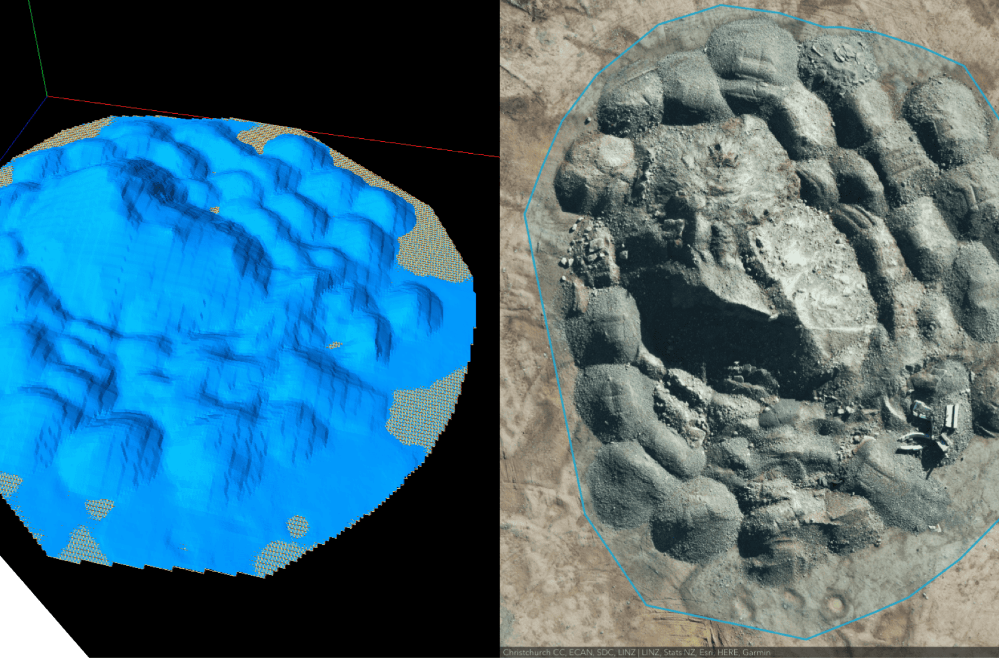
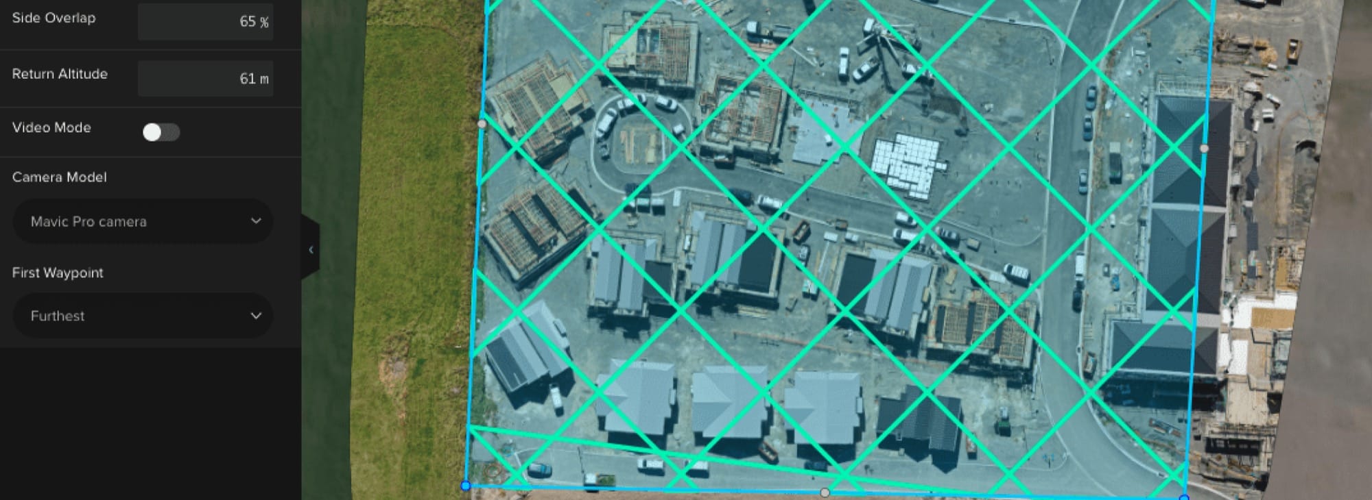
Automated Flight Plan

Site boundaries are defined with a click. An automated flight path ensures the drone stays on track. The drone will then fly in an accurate grid pattern and take overlapping images of the site. You won’t find mapping accuracy like this anywhere else.
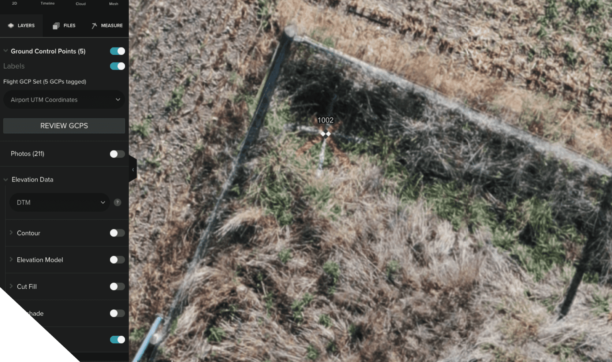
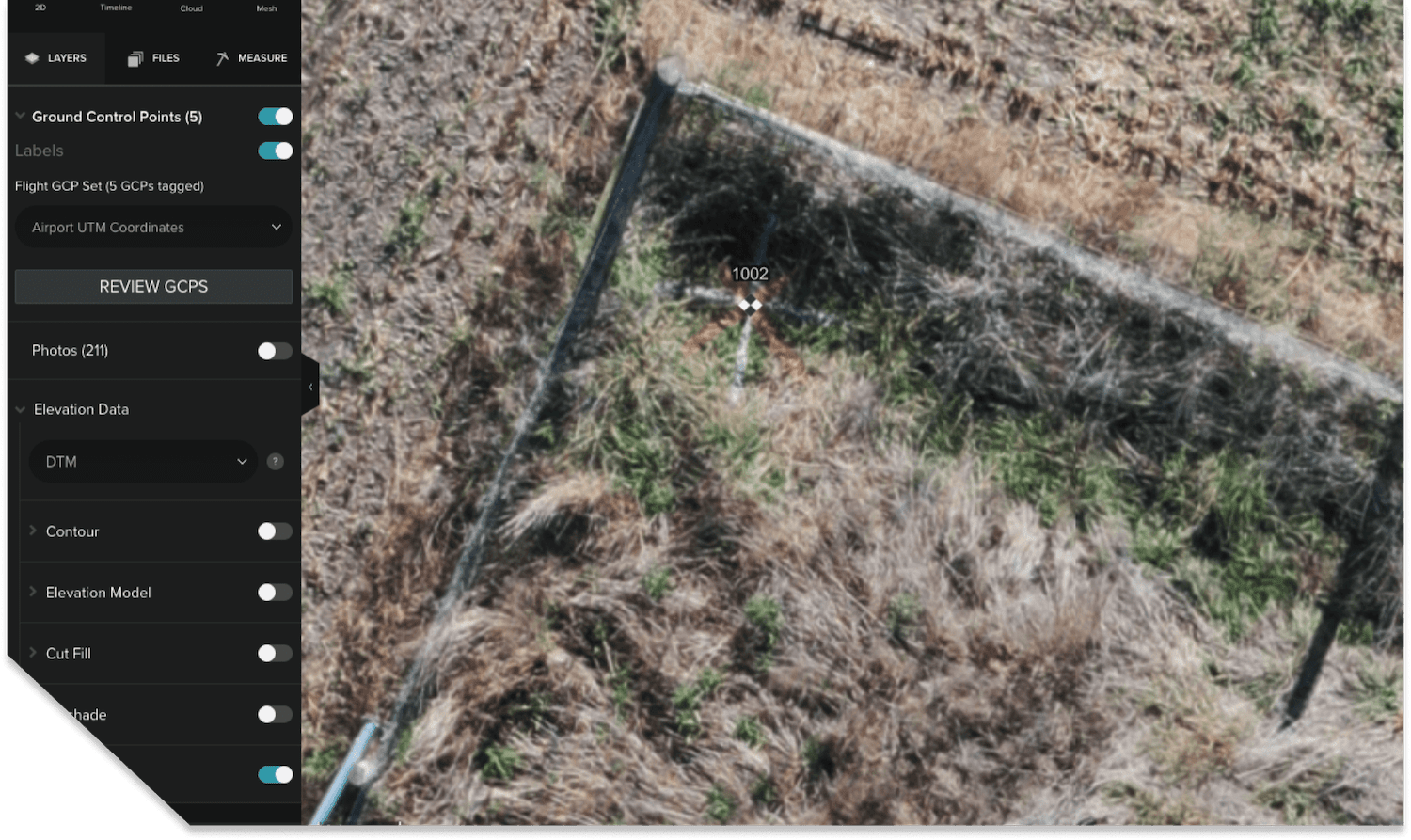
Safety Assessment

We conduct a safety check before each flight. Our licensed pilots will obtain airspace approvals from helipads and airports. We operate the DJI Mavic 2 drone which has an emergency obstacle evasion and “return to home” feature if its battery ever runs low.

Get in touch

[email protected]

+64 21 984 068

Home
Services
Portfolio

Why Us
About
Contact

Facebook
Instagram
Linkedin

+64 21 984 068
[email protected]

  • Media
  • Metrics
  • Portfolio
  • Our Story
  • Why Us
  • Media
  • Metrics
  • Portfolio
  • Our Story
  • Why Us

Contact
+64 21 984 068
[email protected]

Facebook
Instagram
Linkedin