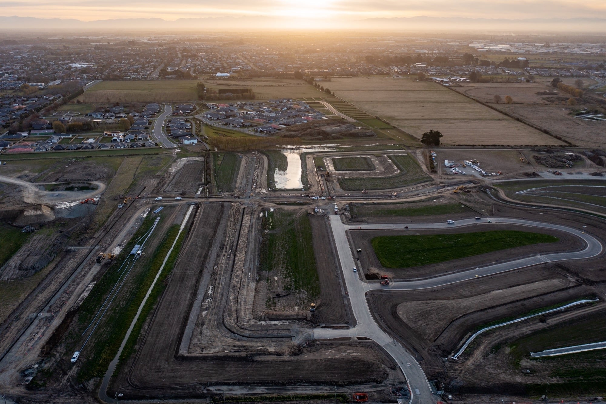
In 2021, Upsite partnered with BG Contracting to provide aerial surveying for their Meadowlands project in Halswell. The size of the site meant that traditional ground based surveying would be time intensive and place unnecessary risk on the surveyor working among heavy equipment.
Working closely with the project surveyor, Upsite provided comprehensive, accurate drone surveys that were linked to surveyed ground control points for a high degree of accuracy. The entire BG organization then had access to the drone surveys, and access to the full suite of analytic tools.
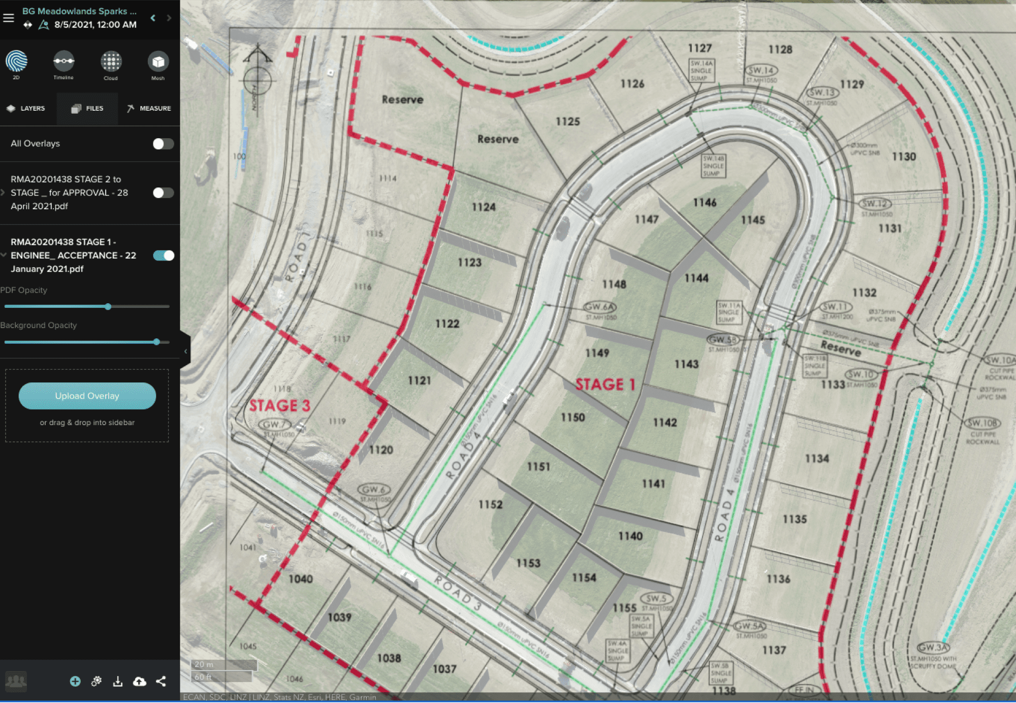
The Drawing Overlay feature within Site Scan was used to quickly verify the location of installed fencing on multiple lot boundaries. Additionally, the Slider Comparison tool provides a useful way to document and measure the precise location of site utilities for future reference.


