Aerial
Media &
Metrics
Upsite enables companies to secure more work and improve efficiency with aerial metrics & video production.
Why
Us
Cutting-edge, cloud-based software + the latest in drone tech = 20mp images and 4K video. See each piece of your location in astonishing high quality. Overlay sketches and designs so investors can clearly see your final vision. View your site without having to physically travel to it each day.
Full drone flight certification in Christchurch, including Christchurch Airport and helipads. We’re able to access areas that many aerial survey mappers can’t. Simply choose your location, and we’ll organize the papers we need to. Fly stress-free knowing your survey is being done legally.
Our industry know-how and flying qualifications make our drone survey company choice #1. Sleep easy knowing your survey is in the hands of industry experts. We will complete your survey flight with speed and precision, guaranteed.
Stirring video production from the ground level to the sky above. Want to convince investors, clients, and potential partners of your vision? Our content is the bargaining chip you need.
Powerful 3D analysis tools with one Site Scan software subscription. See every detail of your site with just a few clicks. Our data allows you to make precise calculations regarding your project site.
Meet Site Scan.
Make better decisions, faster.
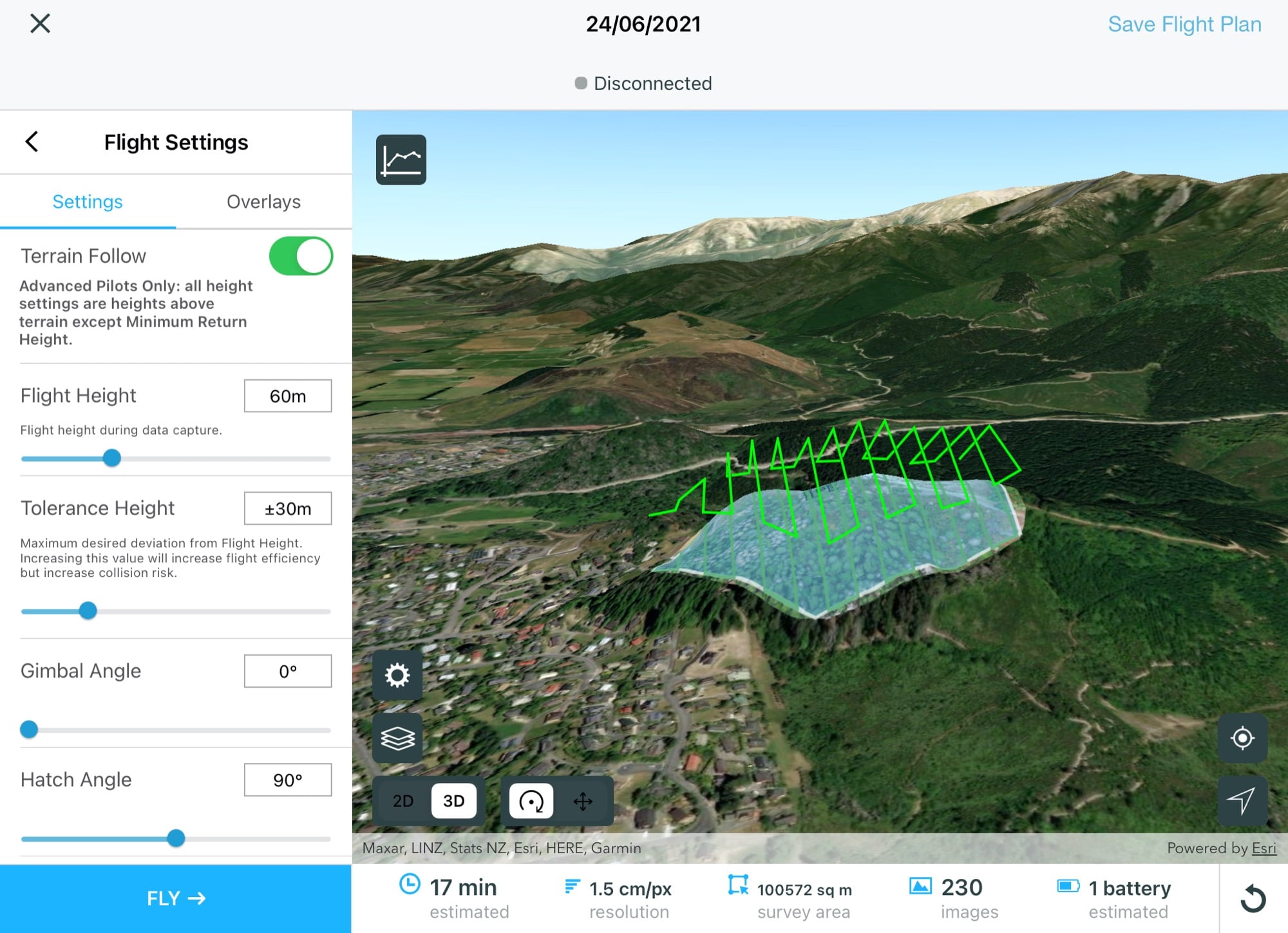
Time to clone your job site. Site Scan is an extensive piece of drone mapping software that lets you share and analyze 3D renders of your location. Autonomous flight plans keep your team up to date with the latest info, while time is saved with our built-in analysis tools. You won’t find aerial mapping companies who do quite what we can. Speed up the mapping process and unlock precise data by partnering with Upsite.

